TIME–SLICE
Testing INCUS Methods Experiment — Suborbital preLaunch Investigations of Convective Evolution
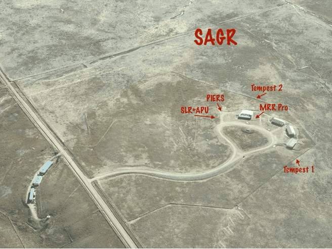
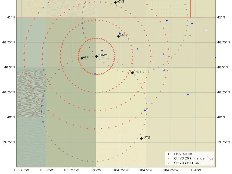
The upcoming NASA Earth Venture Investigation of Convective Updrafts (INCUS) Mission will investigate convective mass flux (CMF) from space across tropical latitudes using Ka-band reflectivity differences obtained from three successive satellite observations. The time-differencing (delta-t) technique is based on the principle that the vertical air motion is the main contributor to observed changes in radar reflectivity (ΔZ/Δt) over short timescales (<2 minutes). While this relationship is based on first principles (Prasanth et al. 2023), ground-based validation of INCUS principles, and ultimately space-based observations, require a suite of measurements that have not regularly been collected before. Understanding the critical measurements that are necessary to validate the INCUS products is necessary for ensuring a successful calibration/validation of the INCUS mission. Testing INCUS Methods Experiment — Suborbital preLaunch Investigations of Convective Evolution (TIME–SLICE) will build a proving ground to determine the types of suborbital data needed for INCUS delta-t validation. As such, the overarching goal of TIME-SLICE is to assess, refine and develop the specific set of ground-based measurements, data, and parameters required to validate INCUS products. Specifically, the result of the campaign will be an outline of the basic instruments, measurement strategies, and data required to determine CMF from the reflectivity delta-t technique.
